


✅ Download PicPoints for Free – https://yalogica.com/picpoints/
In this 4-minute tutorial, I’ll show you exactly how to build an interactive USA interactive map directly inside WordPress. No complicated coding, just a simple plugin setup to place markers, add tooltips, define custom CSS styles, and publish your map fast.
📌 What you’ll learn:
– Which plugin to use for interactive mapping
– How to add location pins for each base
– Customizing tooltips with info about each base and state
– Publishing the map on your WordPress site
👉 Like, subscribe, and turn on notifications for more advanced WordPress workflows and plugin tutorials!
0:00 – Interactive Map Live Demo
0:28 – Creating a New Map & Import SVG
0:52 – Group States for Better Management
1:08 – Setup Tooltips for States
1:28 – Additional States & Tooltips Styling (Custom CSS)
1:58 – Preview Map for Test
2:07 – Add Hotspots & Group Them
2:23 – Setup Tooltips for Hotspots
2:47 – Adding Custom Images to Canvas
2:57 – Preview Map for Test
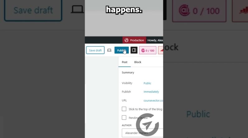
3:10 – How to Publish on WordPress Post
💬 Got questions? Drop them in the comments, I’m happy to help!
#wordpress #wp #yalogica #picpoints #svgmap #imagemap #floorplan #mapplic #drawattention